Range & Croplands
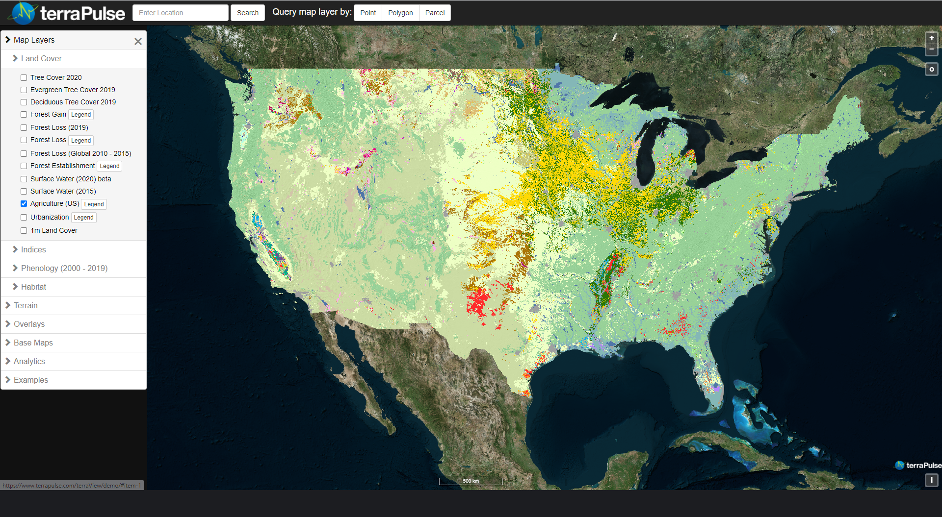
TerraPulse hosts the US Department of Agriculture (USDA) Cropland Data Layer for visualization on terraView and download through terraServe. The data cover the conterminous US at a resolution of 30 meters from 2008 or 2010 to the previous year. Coverage may be greater or lesser depending on regional agricultural intensity. The data represent 107 agricultural crop species and types, as well as seven non-agricultural types. Combined with indices of vegetation productivity and seasonality, cropland type maps can be used to predict yields, identify arable fields, and compare local productivity to regional and long-term averages.


